파일:Buttes and layers in Aeolis.jpg
미리 보기 크기: 631 × 599 픽셀 다른 해상도: 253 × 240 픽셀 | 506 × 480 픽셀 | 753 × 715 픽셀
원본 파일 (753 × 715 픽셀, 파일 크기: 61 KB, MIME 종류: image/jpeg)
| 설명 |
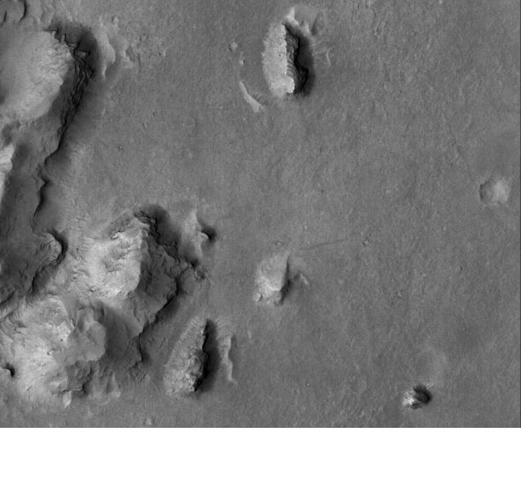
English: Buttes and layers in Aeolis. The location is 6.3 degrees south latitude and 208.3 degrees west longitude. |
| 날짜 |
|
| 출처 | photojournal.jpl.nasa.gov/catalogy/PIA02296 |
| 저자 | Jim Secosky modified NASA image |
라이선스
| 이 파일은 NASA에서 제작하였으므로 퍼블릭 도메인입니다. NASA의 저작권 정책에 따르면 NASA의 자료는 명시하지 않는 이상 저작권의 보호를 받지 않습니다. (Template:PD-USGov, 또는 NASA 저작권 정책 문서, JPL 그림 사용 정책을 참고하세요.) | ||
 |
주의사항:
|
기존 올리기 기록
Mike Peel 사용자가 CommonsHelper 도구를 사용하여 en.wikipedia에서 공용으로 옮겨왔습니다.
The original description page was here. All following user names refer to en.wikipedia.
- 2009-01-14 22:01 Jimmarsmars 753×715× (62759 bytes) {{Information |Description=Buttes and layers in Aeolis |Source=photojournal.jpl.nasa.gov/catalogy/PIA02296 |Date=January 14, 2009 |Author=Jim Secosky modified NASA image. |Permission= |other_versions= }}
파일 역사
날짜/시간 링크를 클릭하면 해당 시간의 파일을 볼 수 있습니다.
| 날짜/시간 | 섬네일 | 크기 | 사용자 | 설명 | |
|---|---|---|---|---|---|
| 현재 | 2009년 3월 2일 (월) 03:04 | | 753 × 715 (61 KB) | File Upload Bot (Magnus Manske) | {{BotMoveToCommons|en.wikipedia|year={{subst:CURRENTYEAR}}|month={{subst:CURRENTMONTHNAME}}|day={{subst:CURRENTDAY}}}} {{Information |Description={{en|Buttes and layers in Aeolis. The location is 6.3 degrees south latitude and 208.3 degrees west longitu |
이 파일을 사용하는 문서
다음 문서 1개가 이 파일을 사용하고 있습니다:
이 파일을 사용하고 있는 모든 위키의 문서 목록
다음 위키에서 이 파일을 사용하고 있습니다:
- ar.wikipedia.org에서 이 파일을 사용하고 있는 문서 목록
- en.wikipedia.org에서 이 파일을 사용하고 있는 문서 목록
- fa.wikipedia.org에서 이 파일을 사용하고 있는 문서 목록
- fr.wikipedia.org에서 이 파일을 사용하고 있는 문서 목록
- pt.wikipedia.org에서 이 파일을 사용하고 있는 문서 목록
- sh.wikipedia.org에서 이 파일을 사용하고 있는 문서 목록
- sr.wikipedia.org에서 이 파일을 사용하고 있는 문서 목록
- zh.wikipedia.org에서 이 파일을 사용하고 있는 문서 목록