파일:California 19.svg

SVG 파일의 PNG 형식의 미리보기 크기: 385 × 401 픽셀. 다른 해상도: 230 × 240 픽셀 | 461 × 480 픽셀 | 737 × 768 픽셀 | 983 × 1,024 픽셀 | 1,966 × 2,048 픽셀
원본 파일 (SVG 파일, 실제 크기 385 × 401 픽셀, 파일 크기: 12 KB)
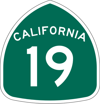
| 설명 | Vector image of a 24 in by 25 in (600 mm by 635 mm) California State Route shield. Colors are from [1] (Pantone Green 342), converted to RGB by [2]. The outside border has a width of 1 (1/16 in) and a color of black so it shows up; in reality, signs have no outside border. |
| 날짜 | |
| 출처 | Made to the specifications of the 1971 Caltrans sign drawing (still in use). Uses the Roadgeek 2005 fonts. (United States law does not permit the copyrighting of typeface designs, and the fonts are meant to be copies of a U.S. Government-produced work anyway.) |
| 저자 | SPUI |
| 다른 버전 |
This vector image includes elements that have been taken or adapted from this file: |
| SVG 발전 | 이 벡터 그림은 Adobe Illustrator(으)로 제작되었습니다. |
This file is in the public domain because it comes from the California Manual on Uniform Traffic Control Devices, sign number G28-2 (CA), which states specifically in its introduction, on page 44 that:
|
파일 역사
날짜/시간 링크를 클릭하면 해당 시간의 파일을 볼 수 있습니다.
| 날짜/시간 | 섬네일 | 크기 | 사용자 | 설명 | |
|---|---|---|---|---|---|
| 현재 | 2007년 4월 16일 (월) 13:14 | | 385 × 401 (12 KB) | TwinsMetsFan | reuploading to fix rendering bug |
| 2006년 3월 21일 (화) 01:16 |  | 385 × 401 (12 KB) | SPUI~commonswiki | ||
| 2006년 3월 20일 (월) 22:26 |  | 385 × 401 (12 KB) | SPUI~commonswiki | {{spuiother}} 24 in by 25 in (600 mm by 635 mm) California State Route shield, made to the specifications of the [http://www.dot.ca.gov/hq/traffops/signtech/signdel/specs/G28-2.pdf 1971 Caltrans sign drawing] (still in use). Uses the [http://www.triskele. |
이 파일을 사용하는 문서
다음 문서 1개가 이 파일을 사용하고 있습니다:
이 파일을 사용하고 있는 모든 위키의 문서 목록
다음 위키에서 이 파일을 사용하고 있습니다:
- az.wikipedia.org에서 이 파일을 사용하고 있는 문서 목록
- de.wikipedia.org에서 이 파일을 사용하고 있는 문서 목록
- en.wikipedia.org에서 이 파일을 사용하고 있는 문서 목록
- California State Route 1
- Los Angeles County, California
- Greater Los Angeles
- California State Route 91
- Interstate 405 (California)
- Interstate 105 (California)
- California State Route 60
- California State Route 72
- California State Route 18
- Foothill Freeway
- California State Route 19
- Wikipedia:WikiProject U.S. Roads/Redirects/California
- California State Route 20
- Whittier Narrows
- Imperial Highway
- Washington Boulevard (Los Angeles)
- Slauson Avenue
- California State Route 42
- Interstate 10 in California
- Valley Boulevard
- List of highways numbered 19
- Los Alamitos Circle
- User talk:Springeragh/Archive 2
- Interstate 5 in California
- Artesia Boulevard
- List of state highways in California
- Wikipedia talk:WikiProject U.S. Roads/Shields task force/Archive 1
- Alondra Boulevard
- Florence Avenue
- Template:PE E Upland-San Bernardino
- Template:PE S La Habra-Yorba Linda
- Rosecrans Avenue
- Upland–San Bernardino Line
- Template:PE S Whittier
- Whittier Line
- West Santa Ana Branch
- Template:PE S Fullerton
- La Habra–Fullerton–Yorba Linda Line
- Fullerton Line
- Whittier Boulevard
- Southeast Gateway Line
- User:Useddenim/PE
- Template:PE s Los Nietos
- User:Tv's emory/Sandbox/List of state highways in California
이 파일의 더 많은 사용 내역을 봅니다.