파일:Miyagi-sendai-Miyaginohara-park-1984.jpg

미리 보기 크기: 600 × 600 픽셀 다른 해상도: 240 × 240 픽셀 | 480 × 480 픽셀 | 768 × 768 픽셀 | 1,024 × 1,024 픽셀 | 2,048 × 2,048 픽셀 | 3,000 × 3,000 픽셀
원본 파일 (3,000 × 3,000 픽셀, 파일 크기: 4.2 MB, MIME 종류: image/jpeg)
| 설명 |
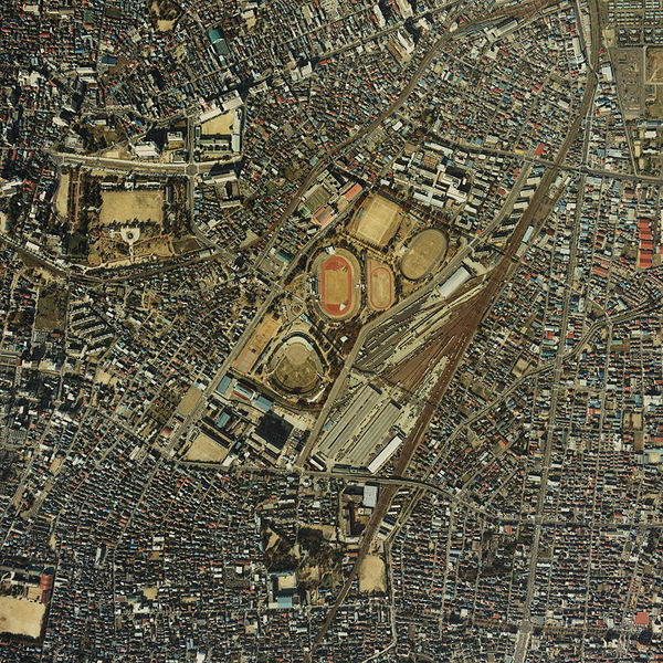
English: Miyaginohara park in Sendai, Miyagi from satellite. Taken in 1984 日本語: 宮城野原公園(宮城野原公園総合運動場)の衛星写真。1984年(昭和59年)撮影 한국어: 미야기노하라 공원 종합 운동장 (현영 미야기 구장 있음) 인공위성 사진. 1984년 찍음 |
|||||
| 날짜 | ||||||
| 출처 | here | |||||
| 저자 | The Ministry of Land, Infrastructure and Transport of Japan | |||||
| 저작권 (이 파일을 인용하기) |
|


파일 역사
날짜/시간 링크를 클릭하면 해당 시간의 파일을 볼 수 있습니다.
| 날짜/시간 | 섬네일 | 크기 | 사용자 | 설명 | |
|---|---|---|---|---|---|
| 현재 | 2006년 12월 26일 (화) 17:23 | | 3,000 × 3,000 (4.2 MB) | LERK | {{Information| Description={{en|Miyaginohara park in Sendai, Miyagi from satellite. Taken in 1984}}{{ja|宮城野原公園(ja:宮城野原公園総合運動場)の衛星写真。1984年(昭和59年)撮影}}{{ko|미야기노하라 공원 종� |
이 파일을 사용하는 문서
다음 문서 1개가 이 파일을 사용하고 있습니다:
이 파일을 사용하고 있는 모든 위키의 문서 목록
다음 위키에서 이 파일을 사용하고 있습니다:
- ja.wikipedia.org에서 이 파일을 사용하고 있는 문서 목록