파일:Nan madol.jpg
미리 보기 크기: 800 × 524 픽셀 다른 해상도: 320 × 210 픽셀 | 640 × 420 픽셀 | 1,024 × 671 픽셀 | 1,280 × 839 픽셀 | 1,800 × 1,180 픽셀
원본 파일 (1,800 × 1,180 픽셀, 파일 크기: 2.32 MB, MIME 종류: image/jpeg)
파일 설명
|
This is an image of a place or building that is listed on the National Register of Historic Places in the United States of America. Its reference number is 74002226. |
| 설명 |
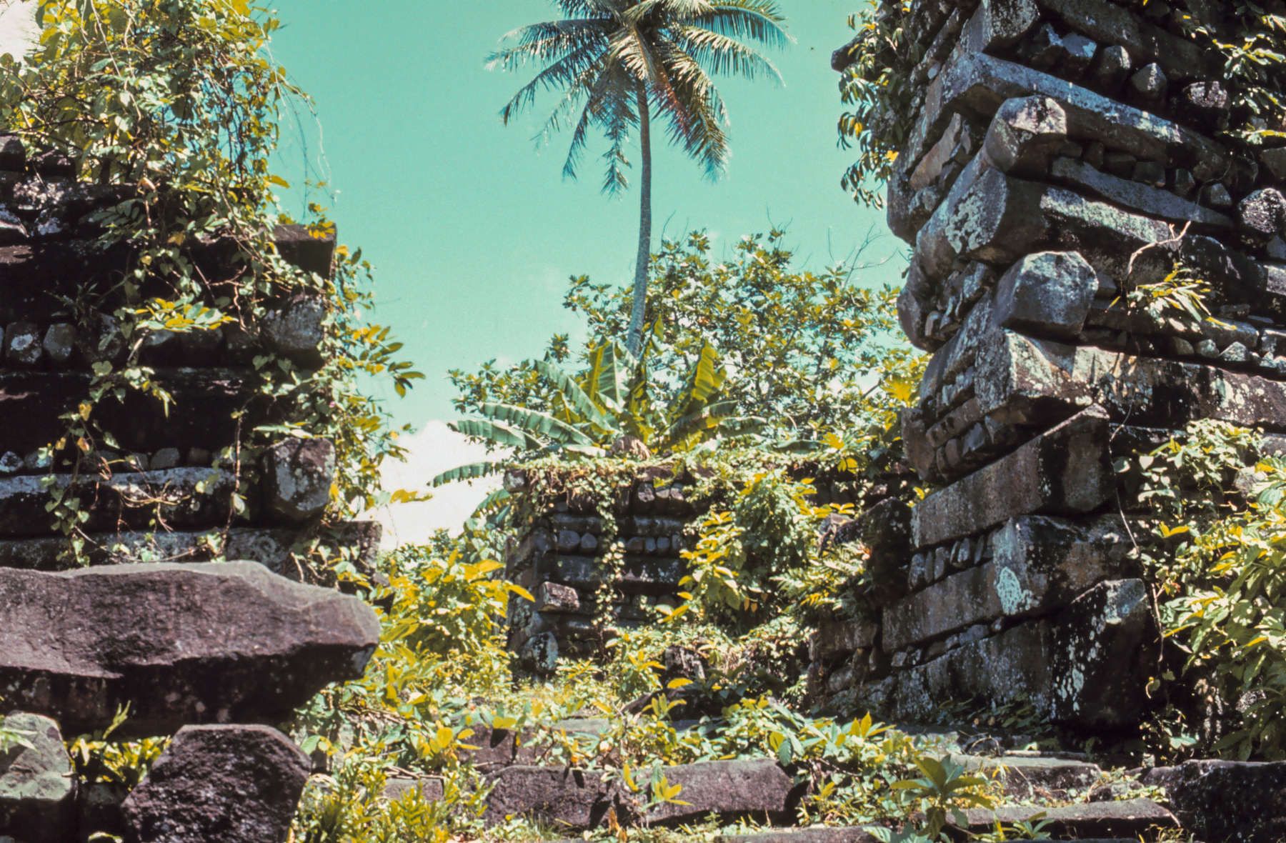
English: Nan Madol
|
| 출처 | http://www.photolib.noaa.gov/htmls/mvey0173.htm |
| 저자 | NOAA |
| 대상 위치 | | 이 지역의 다른 사진을 보기: OpenStreetMap |
|---|
라이선스
|
|
파일 역사
날짜/시간 링크를 클릭하면 해당 시간의 파일을 볼 수 있습니다.
| 날짜/시간 | 섬네일 | 크기 | 사용자 | 설명 | |
|---|---|---|---|---|---|
| 현재 | 2016년 7월 18일 (월) 04:19 | | 1,800 × 1,180 (2.32 MB) | Ralf Roletschek | Farbstich, Überstrahlung |
| 2005년 6월 12일 (일) 20:58 |  | 1,800 × 1,180 (1.56 MB) | Dodo | higher resolution | |
| 2005년 6월 5일 (일) 00:50 |  | 500 × 327 (51 KB) | Luisddm~commonswiki | Nan Madol picture from NOAA (http://www.photolib.noaa.gov) This site states: Most NOAA photos and slides are in the public domain and CANNOT be copyrighted. Although at present, no fee is charged for using the photos credit MUST be given to the Nationa |
이 파일을 사용하는 문서
다음 문서 1개가 이 파일을 사용하고 있습니다:
이 파일을 사용하고 있는 모든 위키의 문서 목록
다음 위키에서 이 파일을 사용하고 있습니다:
- ar.wikipedia.org에서 이 파일을 사용하고 있는 문서 목록
- arz.wikipedia.org에서 이 파일을 사용하고 있는 문서 목록
- az.wikipedia.org에서 이 파일을 사용하고 있는 문서 목록
- bg.wikipedia.org에서 이 파일을 사용하고 있는 문서 목록
- ca.wikipedia.org에서 이 파일을 사용하고 있는 문서 목록
- ceb.wikipedia.org에서 이 파일을 사용하고 있는 문서 목록
- cs.wikipedia.org에서 이 파일을 사용하고 있는 문서 목록
- dag.wikipedia.org에서 이 파일을 사용하고 있는 문서 목록
- de.wikipedia.org에서 이 파일을 사용하고 있는 문서 목록
- de.wikivoyage.org에서 이 파일을 사용하고 있는 문서 목록
- en.wikipedia.org에서 이 파일을 사용하고 있는 문서 목록
- Nan Madol
- List of World Heritage in Danger
- National Register of Historic Places listings in the Federated States of Micronesia
- History of architecture
- List of United States National Historic Landmarks in United States commonwealths and territories, associated states, and foreign states
- List of oldest extant buildings
- List of World Heritage Sites in Oceania
- Culture of Oceania
- en.wikivoyage.org에서 이 파일을 사용하고 있는 문서 목록
- eo.wikipedia.org에서 이 파일을 사용하고 있는 문서 목록
- es.wikipedia.org에서 이 파일을 사용하고 있는 문서 목록
- eu.wikipedia.org에서 이 파일을 사용하고 있는 문서 목록
- fat.wikipedia.org에서 이 파일을 사용하고 있는 문서 목록
- fa.wikipedia.org에서 이 파일을 사용하고 있는 문서 목록
- fr.wikipedia.org에서 이 파일을 사용하고 있는 문서 목록
- gl.wikipedia.org에서 이 파일을 사용하고 있는 문서 목록
- gur.wikipedia.org에서 이 파일을 사용하고 있는 문서 목록
- he.wikipedia.org에서 이 파일을 사용하고 있는 문서 목록
- hr.wikipedia.org에서 이 파일을 사용하고 있는 문서 목록
- hu.wikipedia.org에서 이 파일을 사용하고 있는 문서 목록
- hy.wikipedia.org에서 이 파일을 사용하고 있는 문서 목록
- id.wikipedia.org에서 이 파일을 사용하고 있는 문서 목록
이 파일의 더 많은 사용 내역을 봅니다.