파일:Sandusky Ohio aerial view.jpg
미리 보기 크기: 800 × 533 픽셀 다른 해상도: 320 × 213 픽셀 | 640 × 426 픽셀 | 1,024 × 682 픽셀 | 1,500 × 999 픽셀
원본 파일 (1,500 × 999 픽셀, 파일 크기: 761 KB, MIME 종류: image/jpeg)
| 설명 |
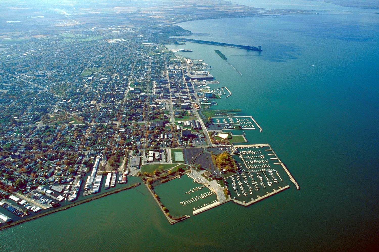
English: Aerial view of Sandusky, Ohio, USA. The view is to the west-southwest along the waterfront on Sandusky Bay, a large inlet and bay off of Lake Erie. |
|||
| 날짜 | ||||
| 출처 |
U.S. Army Corps of Engineers Digital Visual Library Image page Image description page Digital Visual Library home page |
|||
| 저자 | Ken Winters, U.S. Army Corps of Engineers | |||
| 저작권 (이 파일을 인용하기) |
|
|||
| 장소 | Sandusky, Ohio, USA |
| 카메라 위치 | | 이 지역의 다른 사진을 보기: OpenStreetMap |
|---|
파일 역사
날짜/시간 링크를 클릭하면 해당 시간의 파일을 볼 수 있습니다.
| 날짜/시간 | 섬네일 | 크기 | 사용자 | 설명 | |
|---|---|---|---|---|---|
| 현재 | 2007년 3월 25일 (일) 06:44 | | 1,500 × 999 (761 KB) | DanMS | {{Information | Description = {{en|Aerial view of Sandusky, Ohio, USA. The view is to the west-southwest along the waterfront on Sandusky Bay, a large inlet and bay off of Lake Erie.}} | Source = U.S. Army Corps of Engineers Digital Visual Libr |
이 파일을 사용하는 문서
다음 문서 1개가 이 파일을 사용하고 있습니다:
이 파일을 사용하고 있는 모든 위키의 문서 목록
다음 위키에서 이 파일을 사용하고 있습니다:
- azb.wikipedia.org에서 이 파일을 사용하고 있는 문서 목록
- ceb.wikipedia.org에서 이 파일을 사용하고 있는 문서 목록
- de.wikipedia.org에서 이 파일을 사용하고 있는 문서 목록
- en.wikinews.org에서 이 파일을 사용하고 있는 문서 목록
- es.wikipedia.org에서 이 파일을 사용하고 있는 문서 목록
- fa.wikipedia.org에서 이 파일을 사용하고 있는 문서 목록
- fi.wikipedia.org에서 이 파일을 사용하고 있는 문서 목록
- fr.wikipedia.org에서 이 파일을 사용하고 있는 문서 목록
- it.wikipedia.org에서 이 파일을 사용하고 있는 문서 목록
- pl.wikipedia.org에서 이 파일을 사용하고 있는 문서 목록
- pt.wikipedia.org에서 이 파일을 사용하고 있는 문서 목록
- ru.wikipedia.org에서 이 파일을 사용하고 있는 문서 목록
- sh.wikipedia.org에서 이 파일을 사용하고 있는 문서 목록
- simple.wikipedia.org에서 이 파일을 사용하고 있는 문서 목록
- sr.wikipedia.org에서 이 파일을 사용하고 있는 문서 목록
- sv.wikipedia.org에서 이 파일을 사용하고 있는 문서 목록
- szl.wikipedia.org에서 이 파일을 사용하고 있는 문서 목록
- tr.wikipedia.org에서 이 파일을 사용하고 있는 문서 목록
- uk.wikipedia.org에서 이 파일을 사용하고 있는 문서 목록
- uz.wikipedia.org에서 이 파일을 사용하고 있는 문서 목록
- zh-min-nan.wikipedia.org에서 이 파일을 사용하고 있는 문서 목록
- zh.wikipedia.org에서 이 파일을 사용하고 있는 문서 목록