파일:USA Hawaii island chain location map.svg

원본 파일 (SVG 파일, 실제 크기 1,476 × 837 픽셀, 파일 크기: 33 KB)
파일 설명
| 설명 |
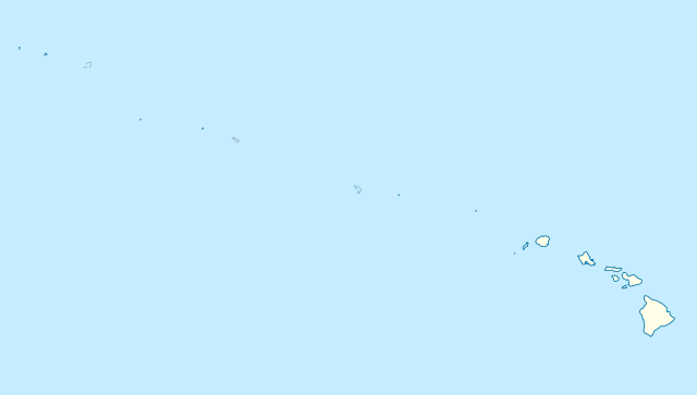
Quadratische Plattkarte, N-S-Streckung 109 %. Geographische Begrenzung der Karte:
Equirectangular projection, N/S stretching 109 %. Geographic limits of the map:
|
|
| 날짜 | ||
| 출처 |
자작, using
|
|
| 저자 | NordNordWest | |
| 저작권 (이 파일을 인용하기) |
이 파일은 크리에이티브 커먼즈 저작자표시-동일조건변경허락 3.0 독일 라이선스로 배포됩니다.
 이 파일은 크리에이티브 커먼즈 저작자표시-동일조건변경허락 3.0 독일 라이선스로 배포됩니다.
|


|
This map has been made or improved in the German Kartenwerkstatt (Map Lab). You can propose maps to improve as well.
|
파일 역사
날짜/시간 링크를 클릭하면 해당 시간의 파일을 볼 수 있습니다.
| 날짜/시간 | 섬네일 | 크기 | 사용자 | 설명 | |
|---|---|---|---|---|---|
| 현재 | 2012년 10월 15일 (월) 02:24 | | 1,476 × 837 (33 KB) | NordNordWest | Reverted to version as of 18:31, 13 November 2009; grey lines are reefs, not islands |
| 2012년 10월 14일 (일) 09:10 |  | 1,476 × 837 (33 KB) | Grolltech | more consistent line weights and colors | |
| 2009년 11월 14일 (토) 03:31 |  | 1,476 × 837 (33 KB) | NordNordWest | {{int:filedesc}} {{Information |Description= {{de|Positionskarte der gesamten Inselkette Hawaii, USA}} Quadratische Plattkarte, N-S-Streckung 109 %. Geographische Begrenzung der Karte: * N: 30° N * S: 17° N * W: 179° W * O: 1 |
이 파일을 사용하는 문서
다음 문서 1개가 이 파일을 사용하고 있습니다:
이 파일을 사용하고 있는 모든 위키의 문서 목록
다음 위키에서 이 파일을 사용하고 있습니다:
- ar.wikipedia.org에서 이 파일을 사용하고 있는 문서 목록
- az.wikipedia.org에서 이 파일을 사용하고 있는 문서 목록
- be.wikipedia.org에서 이 파일을 사용하고 있는 문서 목록
- bn.wikipedia.org에서 이 파일을 사용하고 있는 문서 목록
- ceb.wikipedia.org에서 이 파일을 사용하고 있는 문서 목록
- Plantilya:Location map USA Hawaiian Islands
- Kahoma Ditch
- Kahua Ditch
- Kahului Airport
- Kailua Ditch
- Kalaupapa Airport
- Kaluanui Ditch
- Kama Ditch
- Kamananui Ditch
- Kamenehune Ditch
- Kamooloa Ditch
- Kanaha Ditch
- Kaneha Ditch
- Kapahi Ditch
- Kapālama Drainage Canal
- Kapalua Airport
- Kaua‘ula Ditch
- Kauhikoa Ditch (kanal sa Tinipong Bansa, lat 20,84, long -156,37)
- Kauhikoa Ditch (kanal sa Tinipong Bansa, lat 20,86, long -156,36)
- Ka‘ula
- Kawainui Canal
- Kawano Ditch
- Kawela Intake
- Keālia Ditch
- Kehena Ditch
- Kekaha Airstrip
- Kekaha Ditch
- Kelana Ditch
- Kemoo Ditch Tunnel
- Kipapa (kanal sa Tinipong Bansa)
- Kittery Island (pulo sa Tinipong Bansa, Hawaii)
- Kohala Ditch
- Kōke‘e Ditch
- Kōloa Ditch
이 파일의 더 많은 사용 내역을 봅니다.