파일:Wales Bridgend locator map.svg

SVG 파일의 PNG 형식의 미리보기 크기: 502 × 600 픽셀. 다른 해상도: 201 × 240 픽셀 | 402 × 480 픽셀 | 643 × 768 픽셀 | 857 × 1,024 픽셀 | 1,714 × 2,048 픽셀 | 1,047 × 1,251 픽셀
원본 파일 (SVG 파일, 실제 크기 1,047 × 1,251 픽셀, 파일 크기: 146 KB)
파일 설명
| 설명 |
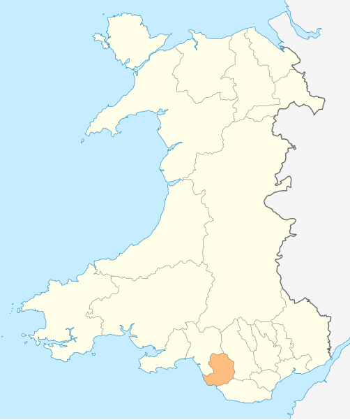
Deutsch: Lagekarte von Bridgend in Wales
English: Locator map of Bridgend in Wales |
| 날짜 | |
| 출처 | 자작 |
| 저자 | NordNordWest |
| 저작권 (이 파일을 인용하기) |
나는 아래 작품의 저작권자로서, 이 저작물을 다음과 같은 라이선스로 배포합니다: 이 파일은 크리에이티브 커먼즈 저작자표시-동일조건변경허락 3.0 Unported 라이선스로 배포됩니다.
|

|
This map has been made or improved in the German Kartenwerkstatt (Map Lab). You can propose maps to improve as well.
|
파일 역사
날짜/시간 링크를 클릭하면 해당 시간의 파일을 볼 수 있습니다.
| 날짜/시간 | 섬네일 | 크기 | 사용자 | 설명 | |
|---|---|---|---|---|---|
| 현재 | 2010년 5월 5일 (수) 03:47 | | 1,047 × 1,251 (146 KB) | NordNordWest | {{int:filedesc}} {{Information |Description= {{de|Lagekarte von Bridgend in Wales}} {{en|Locator map of Bridgend in Wales}} |Source={{Own}} |Date=2010-05-04 |Author={{U|NordNordWest}} |Permission={{self|cc-by-sa-3.0}} |other_versions= }} {{Kartenwerkstat |
이 파일을 사용하는 문서
다음 문서 1개가 이 파일을 사용하고 있습니다:
이 파일을 사용하고 있는 모든 위키의 문서 목록
다음 위키에서 이 파일을 사용하고 있습니다:
- en.wikipedia.org에서 이 파일을 사용하고 있는 문서 목록
- Ewenny Priory
- Bridgend
- Porthcawl
- Maesteg
- Bridgend County Borough
- Pencoed
- Kenfig
- Ogwr
- Ogmore Castle
- Llangynwyd
- Tondu
- Merthyr Mawr
- Brackla
- Candleston Castle
- Nottage
- List of places in Bridgend County Borough
- Heol-y-Cyw
- Pyle
- Aberkenfig
- Coity Castle
- Pontycymer
- Blaengarw
- Coychurch
- Bridgend Industrial Estate
- Template:Bridgend-geo-stub
- Newton, Porthcawl
- Cefn Glas
- Tir Iarll
- Bridgend County Borough Council
- Sarn, Bridgend
- Ogmore Vale
- Bettws, Bridgend
- Bryncethin
- Pen-y-fai, Bridgend
- Ewenny River
- Llampha
- Cornelly
- Nant-y-moel
- Cwmfelin
- North Cornelly
- Caerau, Bridgend
- Llangeinor
- Brynmenyn
- Template:Bridgend
- Kenfig Castle
- South Cornelly
- Cefn Cribwr
- Garw Valley
- Newcastle Castle, Bridgend
- Blackmill
이 파일의 더 많은 사용 내역을 봅니다.