파일:BlankMap-World-v7-Borders.png
미리 보기 크기: 800 × 351 픽셀 다른 해상도: 320 × 140 픽셀 | 640 × 281 픽셀 | 1,425 × 625 픽셀
원본 파일 (1,425 × 625 픽셀, 파일 크기: 45 KB, MIME 종류: image/png)
Jkkkkiu8t7fuffu
파일 설명
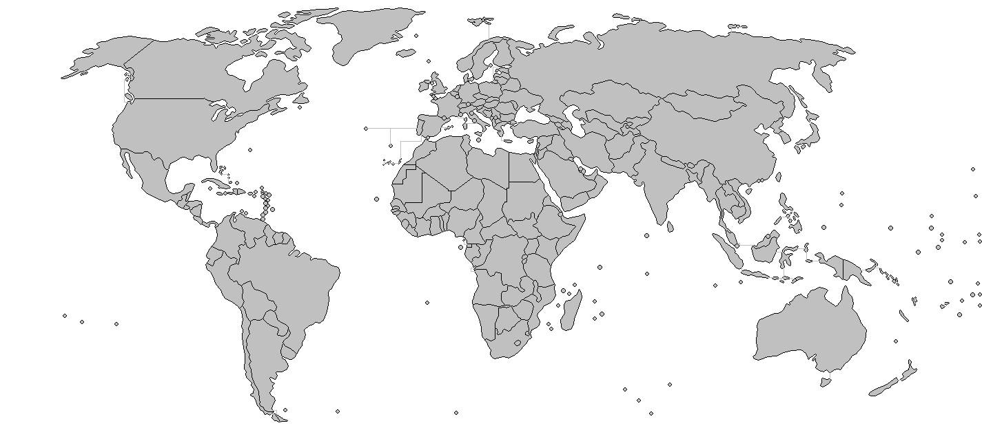
| 설명 | Added borders to the existing world map. | ||||||||
| 날짜 | (UTC) | ||||||||
| 출처 | Modified BlankMlap-World-v7.png to create image | ||||||||
| 저자 | Wiz9999 | ||||||||
| 저작권 (이 파일을 인용하기) |
|
||||||||
| 다른 버전 |
이 파일은 다음으로 파생됨: VerbreitungDänisch.png Image:BlankMap-World-v7.png |

파일 역사
날짜/시간 링크를 클릭하면 해당 시간의 파일을 볼 수 있습니다.
| 날짜/시간 | 섬네일 | 크기 | 사용자 | 설명 | |
|---|---|---|---|---|---|
| 현재 | 2018년 3월 8일 (목) 08:30 | | 1,425 × 625 (45 KB) | Maphobbyist | South Sudan border |
| 2009년 3월 27일 (금) 09:11 |  | 1,425 × 625 (55 KB) | Eynar | Reverted to version as of 15:33, 7 March 2009 | |
| 2009년 3월 21일 (토) 07:25 |  | 1,425 × 625 (54 KB) | Avala | Reverted to version as of 07:01, 5 November 2007 (original version by uploader) | |
| 2009년 3월 8일 (일) 00:33 |  | 1,425 × 625 (55 KB) | Cradel | Reverted to version as of 11:09, 13 November 2008 | |
| 2008년 11월 20일 (목) 10:06 |  | 1,425 × 625 (54 KB) | Tocino | Reverted to version as of 13:36, 4 August 2008 | |
| 2008년 11월 13일 (목) 20:09 |  | 1,425 × 625 (55 KB) | Eynar | Reverted to version as of 14:46, 31 July 2008 (This map is supposed to be a copy of Image:BlankMap-World-v7.png, but with borders; which is supposed to include overseas territories and dependencies, such as Azores, Madeira and Canary Islands) | |
| 2008년 8월 4일 (월) 22:36 |  | 1,425 × 625 (54 KB) | Avala | ||
| 2008년 7월 31일 (목) 23:46 |  | 1,425 × 625 (55 KB) | Avala | ||
| 2008년 7월 7일 (월) 17:02 |  | 1,425 × 625 (55 KB) | Eynar | Fixed connecting pixel between Argentina and Chile. Added Canary Islands, Madeira and Azores (Canary Islands have a total area of 7447 km2, so I put their shape instead of a dot). | |
| 2008년 7월 7일 (월) 17:01 |  | 1,425 × 625 (55 KB) | Eynar | Fixed connecting pixel between Argentina and Chile. Added Canary Islands, Madeira and Azores (Canary Islands have a total area of 7447 km2, so I put their shape instead of a dot). |
이 파일을 사용하는 문서
이 파일을 사용하는 문서가 없습니다.
이 파일을 사용하고 있는 모든 위키의 문서 목록
다음 위키에서 이 파일을 사용하고 있습니다:
- de.wikipedia.org에서 이 파일을 사용하고 있는 문서 목록