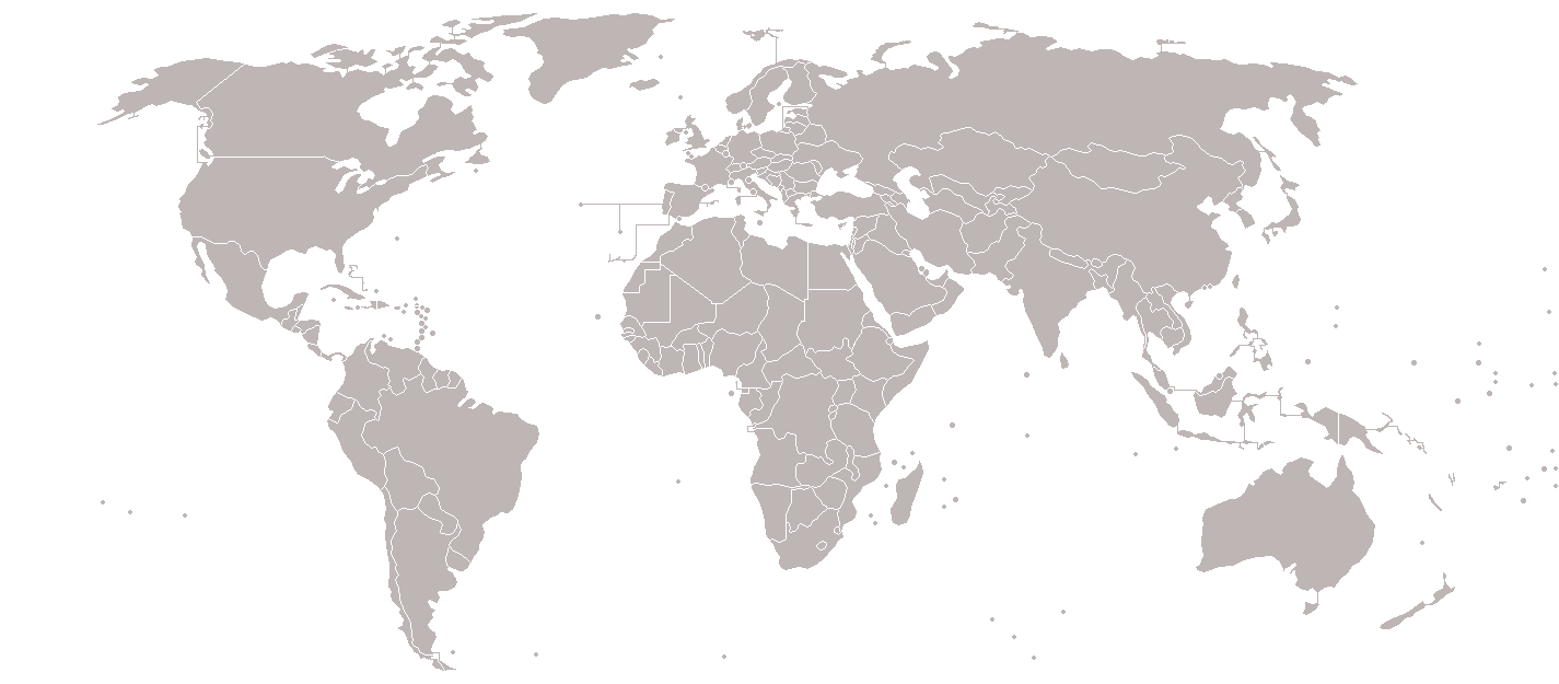
파일:BlankMap-World-v7.png
원본 파일 (1,425 × 625 픽셀, 파일 크기: 37 KB, MIME 종류: image/png)

|
이 그림은 벡터 그래픽 버전(SVG)이 있습니다. 래스터 그림 대신 벡터 그래픽 그림을 사용해야 합니다.
File:BlankMap-World-v7.png → File:BlankMap-World.svg
|
 |
파일 설명
Blank political world map, based on Image:BlankMap-World-v5.png, but including all dependencies (i.e. all territories with ISO 3166-1 codes)
For sovereign countries which are depicted by a dot, the dot is five pixels wide. For dependencies, the dot is smaller - four pixels wide.
Special thanks to Astrokey44 for his map Image:BlankMap-World-v6.png, upon which a large part of this map is also based.
This image is outdated. The territories have been updated on Image:BlankMap-World-v8.png.
Old message: Please update this map. I've created a draft version here [1], but for whatever reason can't update this file. The draft reflects territorial changes (independence of South Sudan, annexation of Crimea, etc) and other minor edits (inclusion of Hawaii, inclusion of Antarctic claims, inclusion of lakes, etc).Image:BlankMap-World-v5.png
![[1]](https://en.wikipedia.org/wiki/File:World_Map-7.png)
라이선스

|
GNU 자유 문서 사용 허가서 1.2판 또는 자유 소프트웨어 재단에서 발행한 이후 판의 규정에 따라 본 문서를 복제하거나 개작 및 배포할 수 있습니다. 본 문서에는 변경 불가 부분이 없으며, 앞 표지 구절과 뒷 표지 구절도 없습니다. 본 사용 허가서의 전체 내용은 GNU 자유 문서 사용 허가서 부분에 포함되어 있습니다. |
| 이 파일은 크리에이티브 커먼즈 저작자표시-동일조건변경허락 3.0 Unported 라이선스로 배포됩니다. | ||
| ||
| 이 라이선스 틀은 GFDL 라이선스 변경의 일부로 이 파일에 추가되었습니다. |
파일 역사
날짜/시간 링크를 클릭하면 해당 시간의 파일을 볼 수 있습니다.
| 날짜/시간 | 섬네일 | 크기 | 사용자 | 설명 | |
|---|---|---|---|---|---|
| 현재 | 2018년 3월 8일 (목) 08:17 | | 1,425 × 625 (37 KB) | Maphobbyist | South Sudan border |
| 2010년 1월 16일 (토) 16:36 |  | 1,425 × 625 (27 KB) | Happenstance | fx | |
| 2010년 1월 16일 (토) 16:34 |  | 1,425 × 625 (27 KB) | Happenstance | darker colour for easier editing in Photoshop (so it doesn't default to grey-scale) | |
| 2008년 7월 31일 (목) 23:49 |  | 1,425 × 625 (48 KB) | Avala | ||
| 2008년 7월 7일 (월) 17:09 |  | 1,425 × 625 (48 KB) | Eynar | Updated according to Image:BlankMap-World-v7-Borders.png: Fixed connecting pixel between Argentina and Chile. Added Canary Islands, Madeira and Azores (Canary Islands have a total area of 7447 km2, so I put their shape instead of a dot). | |
| 2008년 3월 23일 (일) 06:59 |  | 1,425 × 625 (48 KB) | Nightstallion | Reverted to version as of 16:40, 13 March 2008 | |
| 2008년 3월 20일 (목) 04:33 |  | 1,425 × 625 (48 KB) | Patstuart | Reverted to version as of 18:25, 11 March 2008 - see Image talk:BlankMap-World-v6.png#As stated in reversion | |
| 2008년 3월 14일 (금) 01:40 |  | 1,425 × 625 (48 KB) | Nightstallion | no, there does not have to be; upload a variant if you wish, but please this image as it is (or start a discussion somewhere BEFORE reverting) | |
| 2008년 3월 12일 (수) 03:25 |  | 1,425 × 625 (48 KB) | Avala | there must be international consensus to show this as a final border. shading would be the best solution or stripes | |
| 2008년 2월 26일 (화) 05:16 |  | 1,425 × 625 (48 KB) | Nightstallion | Reverted to version as of :, 0 <> |
이 파일을 사용하는 문서
이 파일을 사용하는 문서가 없습니다.