파일:Canada Prince Edward Island location map 2.svg

SVG 파일의 PNG 형식의 미리보기 크기: 758 × 600 픽셀. 다른 해상도: 303 × 240 픽셀 | 607 × 480 픽셀 | 971 × 768 픽셀 | 1,280 × 1,013 픽셀 | 2,560 × 2,025 픽셀 | 1,039 × 822 픽셀
원본 파일 (SVG 파일, 실제 크기 1,039 × 822 픽셀, 파일 크기: 248 KB)
| 설명 |
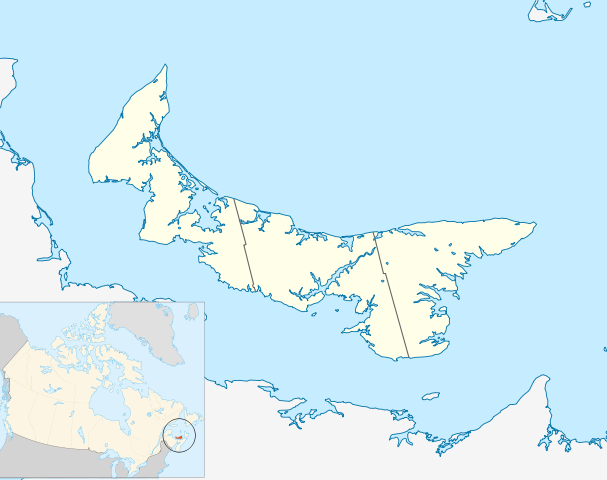
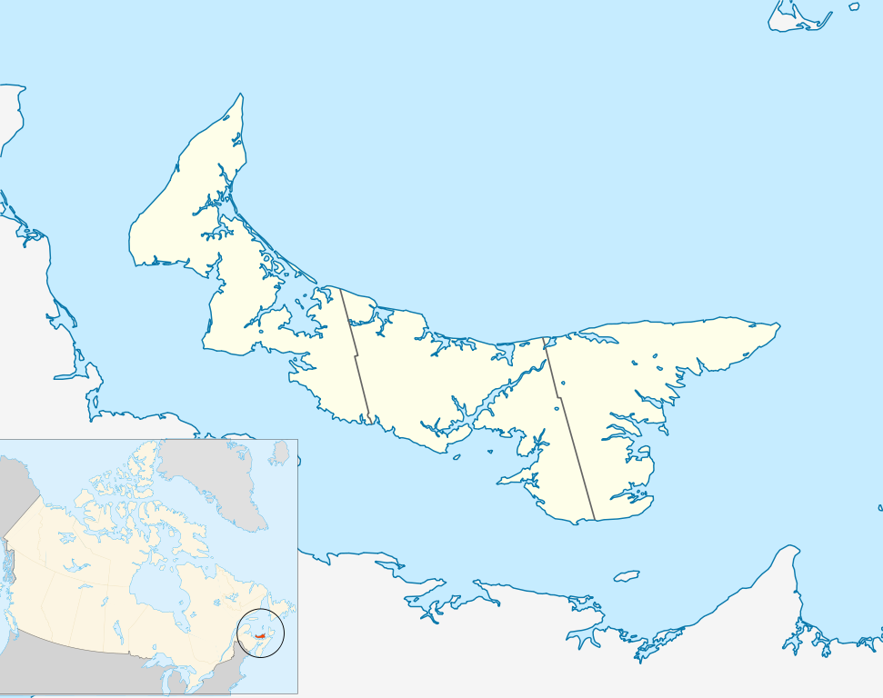
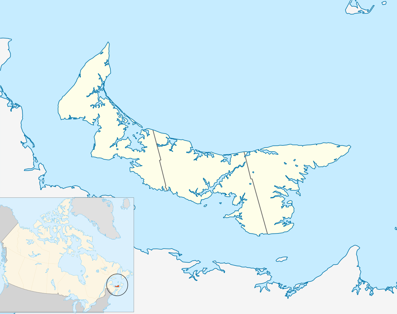
Quadratische Plattkarte, N-S-Streckung 145 %. Geographische Begrenzung der Karte:
Equirectangular projection, N/S stretching 145 %. Geographic limits of the map:
|
| 날짜 | |
| 출처 | 자작, based on File:Canada_Prince_Edward_Island_location_map.svg |
| 저자 | Hanhil (talk) 18:14, 24 September 2009 (UTC) based on work by NordNordWest |
| 저작권 (이 파일을 인용하기) |
나는 아래 작품의 저작권자로서, 이 저작물을 다음과 같은 라이선스로 배포합니다: 이 파일은 크리에이티브 커먼즈 저작자표시-동일조건변경허락 3.0 Unported 라이선스로 배포됩니다.
|
파일 역사
날짜/시간 링크를 클릭하면 해당 시간의 파일을 볼 수 있습니다.
| 날짜/시간 | 섬네일 | 크기 | 사용자 | 설명 | |
|---|---|---|---|---|---|
| 현재 | 2009년 9월 25일 (금) 03:14 | | 1,039 × 822 (248 KB) | Hanhil | {{Information |Description= {{de|Positionskarte von Prince Edward Island, Kanada}} Quadratische Plattkarte, N-S-Streckung 145 %. Geographische Begrenzung der Karte: * N: 47.3° N * S: 45.5° N * W: 64.9° W * O: |
이 파일을 사용하는 문서
다음 문서 2개가 이 파일을 사용하고 있습니다:
이 파일을 사용하고 있는 모든 위키의 문서 목록
다음 위키에서 이 파일을 사용하고 있습니다:
- ar.wikipedia.org에서 이 파일을 사용하고 있는 문서 목록
- azb.wikipedia.org에서 이 파일을 사용하고 있는 문서 목록
- ban.wikipedia.org에서 이 파일을 사용하고 있는 문서 목록
- ba.wikipedia.org에서 이 파일을 사용하고 있는 문서 목록
- bg.wikipedia.org에서 이 파일을 사용하고 있는 문서 목록
- bn.wikipedia.org에서 이 파일을 사용하고 있는 문서 목록
- en.wikipedia.org에서 이 파일을 사용하고 있는 문서 목록
- List of counties of Prince Edward Island
- Prince Edward Island National Park
- Stratford, Prince Edward Island
- Summerside, Prince Edward Island
- Central Bedeque
- Cornwall, Prince Edward Island
- Charlottetown Airport
- CFB Summerside
- List of islands of Prince Edward Island
- Bonshaw, Prince Edward Island
- Tignish
- Cavendish, Prince Edward Island
- Montague, Prince Edward Island
- Summerside Airport
- Cable Head Airpark
- Grand River Airport
- Basin Head, Prince Edward Island
- Knutsford, Prince Edward Island
- Souris, Prince Edward Island
- Union Road
- Foxley River, Prince Edward Island
- Borden-Carleton
- Richmond, Prince Edward Island
- RCAF Station Mount Pleasant
- Ascension, Prince Edward Island
- North Rustico
- St. Felix, Prince Edward Island
- Alberton, Prince Edward Island
- New London, Prince Edward Island
- RCAF Station Charlottetown
- Brudenell River Provincial Park
- Cedar Dunes Provincial Park
- Red Point Provincial Park
- Argyle Shore Provincial Park
- Bloomfield Provincial Park
- Bonshaw Provincial Park
- Wood Islands Provincial Park
- Hampton, Prince Edward Island
- Kensington, Prince Edward Island
- Georgetown, Prince Edward Island
- O'Leary, Prince Edward Island
- Miscouche
- Brackley, Prince Edward Island
이 파일의 더 많은 사용 내역을 봅니다.