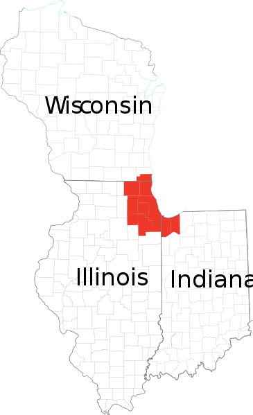
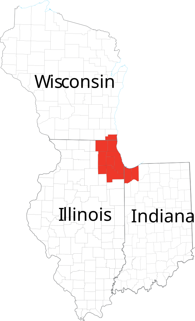
파일:Chicagoland Map.svg

SVG 파일의 PNG 형식의 미리보기 크기: 365 × 599 픽셀. 다른 해상도: 146 × 240 픽셀 | 292 × 480 픽셀 | 468 × 768 픽셀 | 624 × 1,024 픽셀 | 1,247 × 2,048 픽셀 | 2,082 × 3,418 픽셀
원본 파일 (SVG 파일, 실제 크기 2,082 × 3,418 픽셀, 파일 크기: 362 KB)
| 설명 | Derived from maps obtained from [1]. Combined in en:Adobe Illustrator and exported to SVG. | |||
| 출처 | ||||
| 저자 | ||||
| 저작권 (이 파일을 인용하기) |
|
파일 역사
날짜/시간 링크를 클릭하면 해당 시간의 파일을 볼 수 있습니다.
| 날짜/시간 | 섬네일 | 크기 | 사용자 | 설명 | |
|---|---|---|---|---|---|
| 현재 | 2007년 2월 24일 (토) 22:41 | | 2,082 × 3,418 (362 KB) | Ocuish | {{Information |Description=Derived from maps obtained from [http://nationalatlas.gov/printable/reference.html]. Combined in en:Adobe Illustrator and exported to SVG. en:Category:Illinois mapsen:Category:Indiana maps[[:en:Category:Wisconsi |
이 파일을 사용하는 문서
다음 문서 1개가 이 파일을 사용하고 있습니다:
이 파일을 사용하고 있는 모든 위키의 문서 목록
다음 위키에서 이 파일을 사용하고 있습니다:
- cs.wikipedia.org에서 이 파일을 사용하고 있는 문서 목록
- en.wikipedia.org에서 이 파일을 사용하고 있는 문서 목록
- fr.wikipedia.org에서 이 파일을 사용하고 있는 문서 목록
- ja.wikipedia.org에서 이 파일을 사용하고 있는 문서 목록
- ru.wikipedia.org에서 이 파일을 사용하고 있는 문서 목록
- tr.wikipedia.org에서 이 파일을 사용하고 있는 문서 목록
- vi.wikipedia.org에서 이 파일을 사용하고 있는 문서 목록