파일:Downtown Atlanta.jpg
미리 보기 크기: 548 × 600 픽셀 다른 해상도: 219 × 240 픽셀 | 439 × 480 픽셀 | 702 × 768 픽셀 | 1,176 × 1,287 픽셀
원본 파일 (1,176 × 1,287 픽셀, 파일 크기: 544 KB, MIME 종류: image/jpeg)
| 설명 |
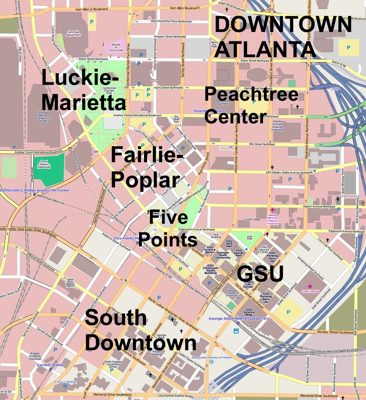
This map was created from OpenStreetMap project data, collected by the community. This map may be incomplete, and may contain errors. Don't rely solely on it for navigation.
|
||||||||||||
| 날짜 | (see file history) | ||||||||||||
| 출처 | openstreetmap.org | ||||||||||||
| 저자 | OpenStreetMap contributors | ||||||||||||
| 저작권 (이 파일을 인용하기) |
All OpenStreetMap data and maps are Creative Commons "CC-BY-SA 2.0" licensed 이 파일은 크리에이티브 커먼즈 저작자표시-동일조건변경허락 2.0 일반 라이선스로 배포됩니다.
|
||||||||||||
Downtown Atlanta.jpg == Usage == * This template can be used without any parameter, but it also supports setting the source=, the date=, the authors=, location= and the other_versions=. If source is not used the parameter name has to be used. * The parameters top=, bottom=, left=, and right= can be used to store the border coordinates of the map. This information can be useful for various mapping templates that are used in various Wikimedia projects. Downtown Atlanta.jpgCategory:Internationalization templates using LangSwitch
파일 역사
날짜/시간 링크를 클릭하면 해당 시간의 파일을 볼 수 있습니다.
| 날짜/시간 | 섬네일 | 크기 | 사용자 | 설명 | |
|---|---|---|---|---|---|
| 현재 | 2011년 11월 20일 (일) 07:06 | | 1,176 × 1,287 (544 KB) | Keizers | added district names |
| 2011년 11월 20일 (일) 06:37 |  | 1,176 × 1,287 (358 KB) | Keizers |
이 파일을 사용하는 문서
다음 문서 1개가 이 파일을 사용하고 있습니다:
이 파일을 사용하고 있는 모든 위키의 문서 목록
다음 위키에서 이 파일을 사용하고 있습니다:
- ar.wikipedia.org에서 이 파일을 사용하고 있는 문서 목록
- ceb.wikipedia.org에서 이 파일을 사용하고 있는 문서 목록
- en.wikipedia.org에서 이 파일을 사용하고 있는 문서 목록
- Centennial Olympic Park bombing
- Georgia State Capitol
- Loew's Grand Theatre
- Fairlie–Poplar, Atlanta
- Atlanta City Hall
- Capital City Club
- Healey Building
- Odd Fellows Building and Auditorium
- Herndon Building
- Fulton County Courthouse (Georgia)
- Hurt Building
- Rhodes–Haverty Building
- Southern Bell Telephone Company Building
- Atlanta Constitution Building
- Elbert P. Tuttle United States Court of Appeals Building
- Medical Arts Building (Atlanta)
- Hotel Row
- J. Mack Robinson College of Business Administration Building
- Masonic Temple (Atlanta)
- Children's Museum of Atlanta
- Module:Location map/data/USA Atlanta Downtown/doc
- Southern Belting Company Building
- Imperial Hotel (Atlanta)
- Olympia Building
- William–Oliver Building
- First Congregational Church (Atlanta)
- Central Presbyterian Church (Atlanta)
- Module:Location map/data/USA Atlanta Downtown
- Bona Allen Building
- Carnegie Building (Atlanta)
- 200 Peachtree
- Glenn Building
- Hardy Ivy Park
- Forsyth-Walton Building
- Whitehall Street Retail Historic District
- W. D. Grant Building
- M.C. Kiser Company Building
- Switchyards Building
- fa.wikipedia.org에서 이 파일을 사용하고 있는 문서 목록
- fi.wikipedia.org에서 이 파일을 사용하고 있는 문서 목록
- ja.wikipedia.org에서 이 파일을 사용하고 있는 문서 목록
- kn.wikipedia.org에서 이 파일을 사용하고 있는 문서 목록
- si.wikipedia.org에서 이 파일을 사용하고 있는 문서 목록
- uz.wikipedia.org에서 이 파일을 사용하고 있는 문서 목록
- war.wikipedia.org에서 이 파일을 사용하고 있는 문서 목록