파일:GreenLine1967-1969.png

미리 보기 크기: 366 × 600 픽셀 다른 해상도: 146 × 240 픽셀 | 293 × 480 픽셀 | 469 × 768 픽셀 | 625 × 1,024 픽셀 | 1,818 × 2,978 픽셀
원본 파일 (1,818 × 2,978 픽셀, 파일 크기: 2.14 MB, MIME 종류: image/png)
파일 설명
| 설명 |
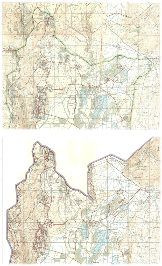
English: Portions of maps published by the Survey of Israel.
Top map: "Metula", 1:50,000, surveyed 1965, printed April 1967. Bottom map: "Metula", 1:50,000, surveyed 1969, printed July 1970. |
| 날짜 | |
| 출처 | Hebrew University |
| 저자 | Survey of Israel |
라이선스
This work was created or ordered by the State of Israel, and is in the public domain because it satisfies one of the conditions stipulated in Israel's copyright statute from 2007 (translation) regarding the State's copyrights:
|

|
파일 역사
날짜/시간 링크를 클릭하면 해당 시간의 파일을 볼 수 있습니다.
| 날짜/시간 | 섬네일 | 크기 | 사용자 | 설명 | |
|---|---|---|---|---|---|
| 현재 | 2021년 9월 15일 (수) 22:16 | | 1,818 × 2,978 (2.14 MB) | Zero0000 | Uploaded a work by Survey of Israel from Hebrew University with UploadWizard |
이 파일을 사용하는 문서
다음 문서 1개가 이 파일을 사용하고 있습니다:
이 파일을 사용하고 있는 모든 위키의 문서 목록
다음 위키에서 이 파일을 사용하고 있습니다:
- en.wikipedia.org에서 이 파일을 사용하고 있는 문서 목록