파일:Herefordshire UK location map.svg

SVG 파일의 PNG 형식의 미리보기 크기: 473 × 599 픽셀. 다른 해상도: 189 × 240 픽셀 | 379 × 480 픽셀 | 606 × 768 픽셀 | 808 × 1,024 픽셀 | 1,616 × 2,048 픽셀 | 999 × 1,266 픽셀
원본 파일 (SVG 파일, 실제 크기 999 × 1,266 픽셀, 파일 크기: 1.55 MB)
| 설명 |
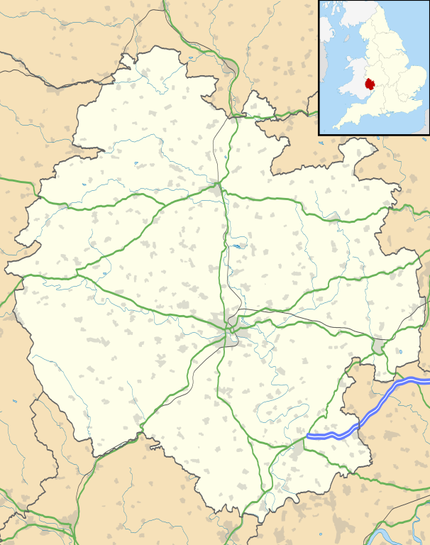
Map of Herefordshire, UK with the following information shown:
Equirectangular map projection on WGS 84 datum, with N/S stretched 160% Geographic limits:
|
| 날짜 | |
| 출처 |
|
| 저자 | Nilfanion, created using Ordnance Survey data |
| 저작권 (이 파일을 인용하기) |
이 파일은 크리에이티브 커먼즈 저작자표시-동일조건변경허락 3.0 Unported 라이선스로 배포됩니다. 저작자표시: Contains Ordnance Survey data © Crown copyright and database right
|
| 다른 버전 | File:Herefordshire UK district map (blank).svg - Blank map |
.svg)
파일 역사
날짜/시간 링크를 클릭하면 해당 시간의 파일을 볼 수 있습니다.
| 날짜/시간 | 섬네일 | 크기 | 사용자 | 설명 | |
|---|---|---|---|---|---|
| 현재 | 2010년 9월 27일 (월) 03:55 | | 999 × 1,266 (1.55 MB) | Nilfanion | {{Information |Description=Map of Herefordshire, UK with the following information shown: *Administrative borders *Coastline, lakes and rivers *Roads and railways *Urban areas Equirectangular map projection on WGS 84 datum, with N/S s |
이 파일을 사용하는 문서
다음 문서 1개가 이 파일을 사용하고 있습니다:
이 파일을 사용하고 있는 모든 위키의 문서 목록
다음 위키에서 이 파일을 사용하고 있습니다:
- ar.wikipedia.org에서 이 파일을 사용하고 있는 문서 목록
- az.wikipedia.org에서 이 파일을 사용하고 있는 문서 목록
- bg.wikipedia.org에서 이 파일을 사용하고 있는 문서 목록
- ceb.wikipedia.org에서 이 파일을 사용하고 있는 문서 목록
- cy.wikipedia.org에서 이 파일을 사용하고 있는 문서 목록
- en.wikipedia.org에서 이 파일을 사용하고 있는 문서 목록
- Hereford
- Kilpeck
- Eye, Herefordshire
- Symonds Yat
- Bacton, Herefordshire
- Leominster
- Kington, Herefordshire
- Ledbury
- Ross-on-Wye
- Bromyard
- Edvin Loach
- Weston under Penyard
- Pembridge
- Adforton
- Whitchurch, Herefordshire
- Welsh Bicknor
- Much Marcle
- Combe Moor
- Much Dewchurch
- Credenhill
- Welsh Newton
- Thornbury, Herefordshire
- Leintwardine
- List of places in Herefordshire
- Colwall
- Abbey Dore
- Weston Beggard
- Moreton on Lugg
- Peterchurch
- Cusop
- Weobley
- Llanwarne
- Pontrilas
- Yazor
- Eardisley
- Walford, Ross-on-Wye
- Little Hereford
- Preston on Wye
- Allensmore
- Hope under Dinmore
- Almeley
- Ashperton
- Aston Ingham
- Avenbury
이 파일의 더 많은 사용 내역을 봅니다.