파일:Location map Kanazawa.png
미리 보기 크기: 800 × 530 픽셀 다른 해상도: 320 × 212 픽셀 | 640 × 424 픽셀 | 1,024 × 678 픽셀 | 1,280 × 848 픽셀 | 1,620 × 1,073 픽셀
원본 파일 (1,620 × 1,073 픽셀, 파일 크기: 1.77 MB, MIME 종류: image/png)
파일 설명
| 설명 |
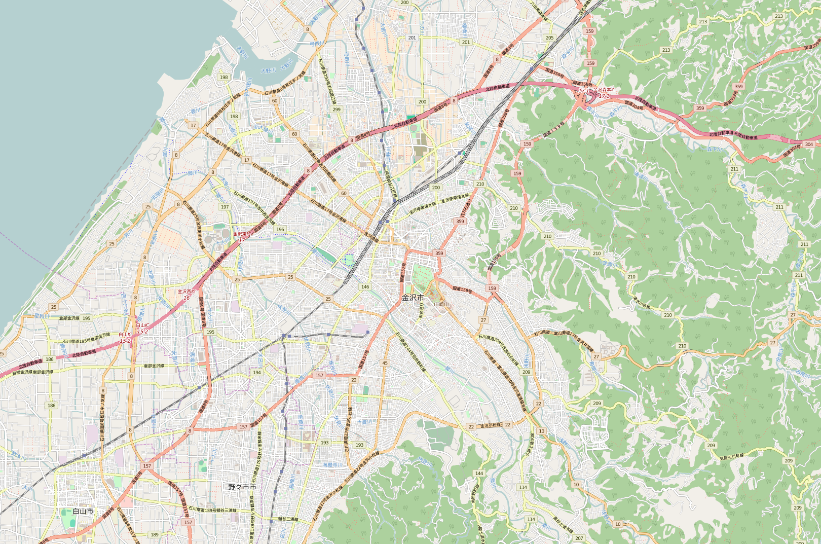
English: OpenStreetMap location map of Kanazawa, Japan.
|
| 날짜 | |
| 출처 | OpenStreetMap |
| 저자 | OpenStreetMap contributors |
라이선스
| This work contains information from OpenStreetMap, which is made available under the Open Database License (ODbL).
The ODbL does not require any particular license for maps produced from ODbL data. Prior to 1 August 2020, map tiles produced by the OpenStreetMap Foundation were licensed under the CC-BY-SA-2.0 license. Maps produced by other people may be subject to other licences. |
파일 역사
날짜/시간 링크를 클릭하면 해당 시간의 파일을 볼 수 있습니다.
| 날짜/시간 | 섬네일 | 크기 | 사용자 | 설명 | |
|---|---|---|---|---|---|
| 현재 | 2015년 12월 4일 (금) 17:53 | | 1,620 × 1,073 (1.77 MB) | Tiri-man | Replace the new file |
| 2015년 12월 4일 (금) 17:48 |  | 600 × 397 (330 KB) | Tiri-man | User created page with UploadWizard |
이 파일을 사용하는 문서
다음 문서 2개가 이 파일을 사용하고 있습니다:
이 파일을 사용하고 있는 모든 위키의 문서 목록
다음 위키에서 이 파일을 사용하고 있습니다:
- en.wikipedia.org에서 이 파일을 사용하고 있는 문서 목록
- fr.wikipedia.org에서 이 파일을 사용하고 있는 문서 목록
- ja.wikipedia.org에서 이 파일을 사용하고 있는 문서 목록
- 兼六園
- 金沢大学
- 金沢城
- 尾山神社
- 香林坊
- チカモリ遺跡
- 石川県立美術館
- 成巽閣
- 石川近代文学館
- 金沢21世紀美術館
- 石川県立歴史博物館
- 加賀本多博物館
- 天徳院 (金沢市)
- 石浦神社
- 泉鏡花記念館
- 前田土佐守家資料館
- 御経塚遺跡
- 大乗寺
- 東大寺領横江荘荘家跡
- 石川護国神社
- 金沢神社
- 石川県産業展示館
- 豊国神社 (金沢市)
- 主計町 (金沢市)
- 桜橋 (金沢市)
- 尾崎神社
- 東山ひがし
- 寺町 (金沢市)
- 経王寺 (金沢市)
- 西部緑地公園
- 伏見寺
- 橋場町 (金沢市)
- 犀川大橋
- 御所町 (金沢市)
- 大野日吉神社
- 中村神社
- 泉野櫻木神社
- 片町 (金沢市)
- 南町 (金沢市)
- 竪町 (金沢市)
- 石川県庁舎
- 広坂 (金沢市)
- 本多町 (金沢市)
이 파일의 더 많은 사용 내역을 봅니다.