파일:Map of the Far East of the USSR, Northern China (Manchuria) and Mongolia.tif

TIF 파일의 JPG 형식의 미리보기 크기: 800 × 583 픽셀. 다른 해상도: 320 × 233 픽셀 | 640 × 467 픽셀 | 1,024 × 747 픽셀 | 1,280 × 934 픽셀 | 1,404 × 1,024 픽셀
원본 파일 (1,404 × 1,024 픽셀, 파일 크기: 4.11 MB, MIME 종류: image/tiff)
파일 설명
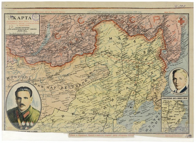
| 설명 | Map of the Far East of the USSR, Northern China (Manchuria) and Mongolia, 39 x 53 cm, 1:6 000 000 |
| 날짜 | |
| 출처 |
http://www.wdl.org/zh/item/123/?ql=zho&a=-8000&b=2010&c=CN&r=EastAsia&view_type=gallery |
| 저자 | “Transreklama”NKPS, |
| 다른 버전 |

라이선스
|
이 작품은 미국, 그리고 저작권 보호 기간이 저작자 사후 70년, 또는 그 이하인 모든 국가에서 퍼블릭 도메인입니다.
| |
| 이 저작물은 모든 저작인접권을 포함한 저작권법하의 규제로부터 자유로운 것으로 확인되었습니다. | |
파일 역사
날짜/시간 링크를 클릭하면 해당 시간의 파일을 볼 수 있습니다.
| 날짜/시간 | 섬네일 | 크기 | 사용자 | 설명 | |
|---|---|---|---|---|---|
| 현재 | 2011년 2월 16일 (수) 01:57 |  | 1,404 × 1,024 (4.11 MB) | Shizhao | == {{int:filedesc}} == == {{int:filedesc}} == == {{int:filedesc}} == == {{int:filedesc}} == == {{int:filedesc}} == {{Information |Description=Map of the Far East of the USSR, Northern China (Manchuria) and Mongolia, 39 x 53 cm, 1:6 000 000 |Source=http:// |
이 파일을 사용하는 문서
다음 문서 1개가 이 파일을 사용하고 있습니다:
이 파일을 사용하고 있는 모든 위키의 문서 목록
다음 위키에서 이 파일을 사용하고 있습니다:
- ba.wikipedia.org에서 이 파일을 사용하고 있는 문서 목록
- cs.wikipedia.org에서 이 파일을 사용하고 있는 문서 목록
- en.wikipedia.org에서 이 파일을 사용하고 있는 문서 목록
- hu.wikipedia.org에서 이 파일을 사용하고 있는 문서 목록
- mn.wikipedia.org에서 이 파일을 사용하고 있는 문서 목록
- nl.wikipedia.org에서 이 파일을 사용하고 있는 문서 목록
- ro.wikipedia.org에서 이 파일을 사용하고 있는 문서 목록
- ru.wikipedia.org에서 이 파일을 사용하고 있는 문서 목록
- th.wikipedia.org에서 이 파일을 사용하고 있는 문서 목록
- uk.wikipedia.org에서 이 파일을 사용하고 있는 문서 목록
- uz.wikipedia.org에서 이 파일을 사용하고 있는 문서 목록
- zh.wikipedia.org에서 이 파일을 사용하고 있는 문서 목록