파일:Nagoya Castle aerial photo.jpg
미리 보기 크기: 555 × 599 픽셀 다른 해상도: 222 × 240 픽셀 | 445 × 480 픽셀 | 712 × 768 픽셀 | 949 × 1,024 픽셀 | 1,898 × 2,048 픽셀 | 3,078 × 3,322 픽셀
원본 파일 (3,078 × 3,322 픽셀, 파일 크기: 10 MB, MIME 종류: image/jpeg)
| 카메라 위치 | | 이 지역의 다른 사진을 보기: OpenStreetMap |
|---|
English
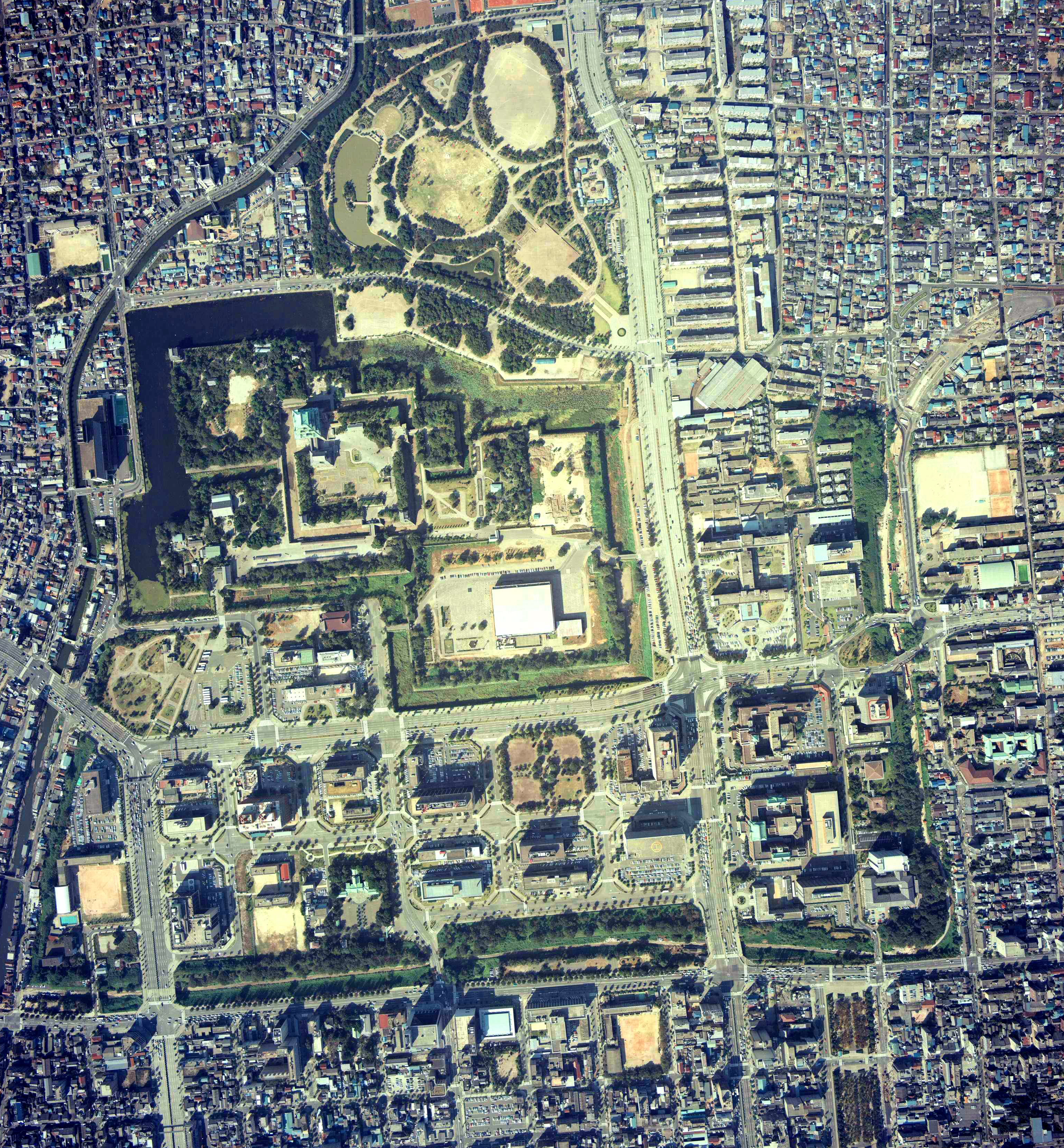
- Description: Aeral Photo of Nagoya Castle in Nagoya, Aichi, Japan
- Source: image from Country Picture Information (Color Aerial Photo) archive copy at the Wayback Machine resized by Mnd
- Date: 1977
日本語 (Japanese)
- 説明: 愛知県名古屋市にある名古屋城の空中写真
- 空中写真の北方向:

- 整理番号: CCB-77-15
- 撮影年度: 昭和52年度 (1977年度)
- 地区名: 名古屋
- 撮影縮尺: 1/8000
- 撮影コース: C14
- 写真番号: 6
- 空中写真の北方向:
- 出典: 国土画像情報 (カラー空中写真) archive copy at the Wayback Machineの写真をMndがリサイズ

|
이 파일의 저작권자인 일본 국토교통성은 저작권자를 명시하는 조건에 따라 누구에게나 어떤 목적으로든지 제한 없이 사용할 수 있도록 허용하였습니다. 재배포나 이차적 저작물 작성 및 상업적 이용 등이 허용됩니다. |
저작자표시:
Copyright © National Land Image Information (Color Aerial Photographs), Ministry of Land, Infrastructure, Transport and Tourism
|
 |
This image is copyrighted by the Ministry of Land, Infrastructure, Transport and Tourism of Japan. For terms of use, see the stipulation to use of National Land Information (in Japanese) and message from MLIT (in Japanese and English). When you display this image on an article, include the following phrase in the description: "Made based on National Land Image Information (Color Aerial Photographs), Ministry of Land, Infrastructure, Transport and Tourism".
|
파일 역사
날짜/시간 링크를 클릭하면 해당 시간의 파일을 볼 수 있습니다.
| 날짜/시간 | 섬네일 | 크기 | 사용자 | 설명 | |
|---|---|---|---|---|---|
| 현재 | 2020년 9월 24일 (목) 21:12 | | 3,078 × 3,322 (10 MB) | 名古屋太郎 | Color adjustment and high definition |
| 2017년 10월 17일 (화) 15:59 |  | 835 × 900 (411 KB) | Togabi | Color adjustment. | |
| 2005년 9월 23일 (금) 13:56 |  | 780 × 840 (192 KB) | Mnd | == English == *'''Description:''' Aeral Photo of Nagoya Castle in Nagoya, Aichi, Japan *'''Source:''' image from [http://w3land.mlit.go.jp/WebGIS/ Country Picture Information (Color Aerial Photo)] resized by ~~~ *'''Date:''' 1977 *'''Permission:''' GFDL |
이 파일을 사용하는 문서
이 파일을 사용하는 문서가 없습니다.