파일:South Africa Eastern Cape location map.svg

SVG 파일의 PNG 형식의 미리보기 크기: 800 × 556 픽셀. 다른 해상도: 320 × 222 픽셀 | 640 × 445 픽셀 | 1,024 × 712 픽셀 | 1,280 × 889 픽셀 | 2,560 × 1,779 픽셀 | 1,298 × 902 픽셀
원본 파일 (SVG 파일, 실제 크기 1,298 × 902 픽셀, 파일 크기: 282 KB)
파일 설명
| 설명 |
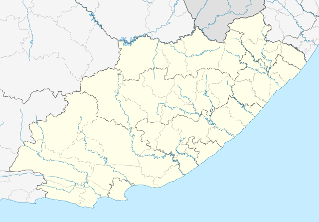
English: Location map of the Eastern Cape
Equirectangular projection, N/S stretching 117%. Geographic limits of the map:
|
| 날짜 | |
| 출처 |
|
| 저자 | Htonl |
| 저작권 (이 파일을 인용하기) |
나는 아래 작품의 저작권자로서, 이 저작물을 다음과 같은 라이선스로 배포합니다: 이 파일은 크리에이티브 커먼즈 저작자표시-동일조건변경허락 3.0 Unported 라이선스로 배포됩니다.
|
| 다른 버전 | File:South Africa Eastern Cape relief location map.svg, File:Blank map of the Eastern Cape (2011).svg |
| SVG 발전 | 이 SVG 파일의 소스 코드를 37가지의 실수입니다. |
.svg)
파일 역사
날짜/시간 링크를 클릭하면 해당 시간의 파일을 볼 수 있습니다.
| 날짜/시간 | 섬네일 | 크기 | 사용자 | 설명 | |
|---|---|---|---|---|---|
| 현재 | 2013년 1월 5일 (토) 06:44 | | 1,298 × 902 (282 KB) | Htonl | == {{int:filedesc}} == {{Information |Description ={{en|Location map of the Eastern Cape Equirectangular projection, N/S stretching 117%. Geographic limits of the map: * N: 29.75° S * S: 34.5° S * W: 22.5° E * E: 30.5° E}} |... |
이 파일을 사용하는 문서
다음 문서 2개가 이 파일을 사용하고 있습니다:
이 파일을 사용하고 있는 모든 위키의 문서 목록
다음 위키에서 이 파일을 사용하고 있습니다:
- af.wikipedia.org에서 이 파일을 사용하고 있는 문서 목록
- Alice, Oos-Kaap
- Bhisho
- Oos-Londen
- Gqeberha
- Qunu
- Nieu-Bethesda
- Aliwal-Noord
- Dordrecht, Oos-Kaap
- Grahamstad
- Qonce
- Komani
- Cradock
- Bathurst, Oos-Kaap
- Port Alfred
- Graaff-Reinet
- Indwe
- Uitenhage
- Aberdeen, Oos-Kaap
- Adelaide (Suid-Afrika)
- Fort Beaufort
- Adendorp
- Addo-olifant- Nasionale Park
- Middelburg, Oos-Kaap
- Groot-Visrivier
- Hogsback
- Somerset-Oos
- Albanie
- Bethelsdorp
- Elliot
- Maclear
- Barkly-Oos
- Ugie
- Burgersdorp
- Rhodes, Oos-Kaap
- Seymour, Oos-Kaap
- Balfour, Oos-Kaap
- Lady Grey
- Jamestown, Oos-Kaap
- Sterkstroom
- Kamdeboo- Nasionale Park
- Nasionale Bergkwaggapark
- Mthatha
- Despatch
- Joubertina
- Boesmansriviermond
- Potsdam, Oos-Kaap
- Butterworth
- Mount Frere
- Stutterheim
- Bedford, Oos-Kaap
이 파일의 더 많은 사용 내역을 봅니다.