파일:Stroud UK locator map.svg

SVG 파일의 PNG 형식의 미리보기 크기: 516 × 600 픽셀. 다른 해상도: 206 × 240 픽셀 | 413 × 480 픽셀 | 661 × 768 픽셀 | 881 × 1,024 픽셀 | 1,762 × 2,048 픽셀 | 1,089 × 1,266 픽셀
원본 파일 (SVG 파일, 실제 크기 1,089 × 1,266 픽셀, 파일 크기: 1.09 MB)
| 설명 |
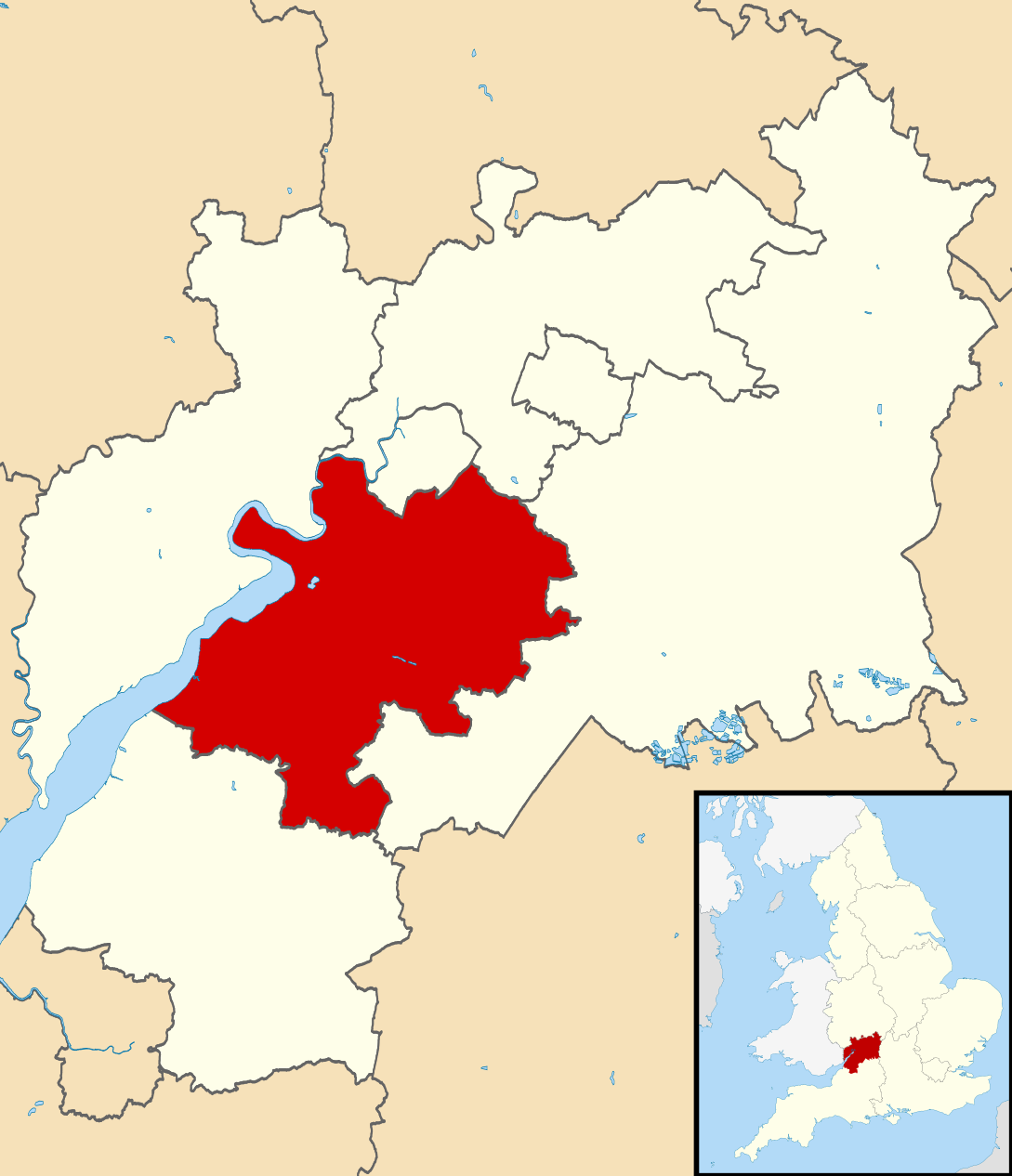
Map of Gloucestershire, UK with Stroud District highlighted. Equirectangular map projection on WGS 84 datum, with N/S stretched 160% |
| 날짜 | |
| 출처 |
|
| 저자 | Nilfanion, created using Ordnance Survey data |
| 저작권 (이 파일을 인용하기) |
이 파일은 크리에이티브 커먼즈 저작자표시-동일조건변경허락 3.0 Unported 라이선스로 배포됩니다. 저작자표시: Contains Ordnance Survey data © Crown copyright and database right
|
파일 역사
날짜/시간 링크를 클릭하면 해당 시간의 파일을 볼 수 있습니다.
| 날짜/시간 | 섬네일 | 크기 | 사용자 | 설명 | |
|---|---|---|---|---|---|
| 현재 | 2011년 2월 27일 (일) 21:29 | | 1,089 × 1,266 (1.09 MB) | Nilfanion | {{Information |Description=Map of Gloucestershire, UK with Stroud District highlighted. Equirectangular map projection on WGS 84 datum, with N/S stretched 160% |Source=Ordnance Survey [h |
이 파일을 사용하는 문서
다음 문서 1개가 이 파일을 사용하고 있습니다:
이 파일을 사용하고 있는 모든 위키의 문서 목록
다음 위키에서 이 파일을 사용하고 있습니다:
- bg.wikipedia.org에서 이 파일을 사용하고 있는 문서 목록
- cy.wikipedia.org에서 이 파일을 사용하고 있는 문서 목록
- en.wikipedia.org에서 이 파일을 사용하고 있는 문서 목록
- fr.wikipedia.org에서 이 파일을 사용하고 있는 문서 목록
- Dursley
- Stroud
- Stroud (district)
- Nailsworth
- Painswick
- Stonehouse (Gloucestershire)
- Wotton-under-Edge
- Randwick (Gloucestershire)
- Liste des paroisses civiles du Gloucestershire
- Cam (Royaume-Uni)
- Modèle:Palette Stroud
- Alderley (Gloucestershire)
- Alkington (Gloucestershire)
- Arlingham
- Woodchester
- Whitminster
- Upton St Leonards
- Uley
- Stinchcombe
- Standish (Gloucestershire)
- Slimbridge
- Rodborough
- Pitchcombe
- Owlpen
- Nympsfield
- North Nibley
- Moreton Valence
- Miserden
- Minchinhampton
- Lypiatt
- Leonard Stanley
- Kingswood (Stroud)
- King's Stanley
- Horsley (Gloucestershire)
- Hinton (Stroud)
- Hillesley and Tresham
- Haresfield
- Harescombe
- Hardwicke (Stroud)
- Hamfallow
- Ham and Stone
- Frocester
- Fretherne with Saul
- Frampton on Severn
- Elmore (Gloucestershire)
- Eastington (Stroud)
이 파일의 더 많은 사용 내역을 봅니다.